Some routes are famous for a reason. The White Rim. The Mojave Road. The Alpine Loop. They're on every overlander's bucket list, and for good reason — they deliver.
Then there are routes that should be famous. Routes that have everything the famous ones have — scenery, solitude, challenge, variety — but somehow stay under the radar. This is one of them.
The Hanksville-to-Escalante backcountry traverse is 200-plus miles of dirt that takes you through five distinct landscapes in three days. You start in the Martian badlands outside Hanksville, climb into the Henry Mountains (the last mountain range in the continental U.S. to be mapped), drop down through the Waterpocket Fold, run the Burr Trail switchbacks into Grand Staircase-Escalante, and roll into Escalante with 72 hours of dust on your windshield and a grin you can't wipe off.
Highway 12 does the same trip in three hours. This route takes three days. That's the point.
The Route Overview
Start: Hanksville, Utah
End: Escalante, Utah
Distance: Roughly 20050 miles of dirt, depending on side trips
Time: 3 days minimum. 4-5 if you actually stop and look at things.
Vehicle: High-clearance 4WD required. Not a Subaru route.
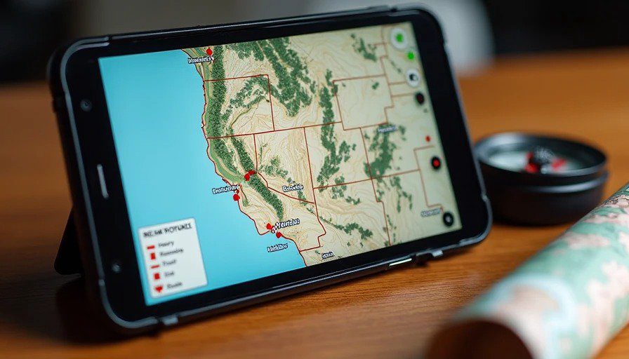
The Route: Hanksville → Henry Mountains (Bull Creek Pass Scenic Backway) → Notom Road → Burr Trail → Boulder → Escalante
The route threads through Capitol Reef National Park, Glen Canyon National Recreation Area, and Grand Staircase-Escalante National Monument-. It's a patchwork of BLM roads, National Park backcountry routes, and county dirt roads that all connect into one continuous traverse. The pavement stops about twenty miles south of Hanksville and doesn't start again until you hit Boulder, 150 miles later.
Here's how it breaks down.
Day One: Hanksville to the Henry Mountains
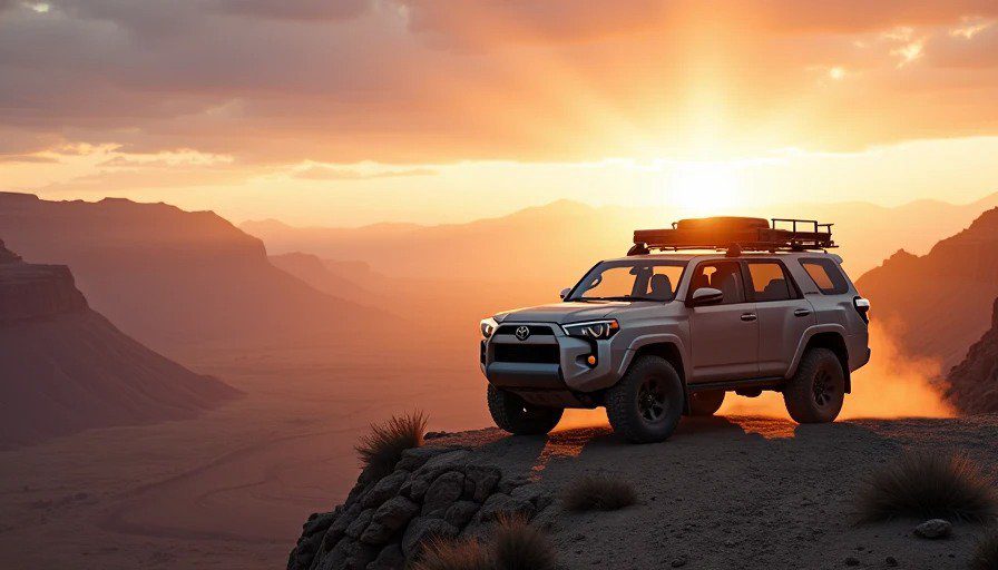
Hanksville is a strange little town. It's the last gas station for a hundred miles in any direction, and it knows it. The landscape around it looks like a movie set for a Mars landing — bare, eroded, otherworldly. The locals are friendly but wary of tourists who don't know what they're getting into.
Fuel up in Hanksville. This is your last chance for gas until Boulder. Top off the tank, fill your jerry cans, and buy more water than you think you need. The ranger station in Hanksville can give you current road conditions — but check their hours before you go.
Head south on Highway 95. About 20 miles south of town, you'll find the turnoff for the Henry Mountains — the Bull Creek Pass Scenic Backway. The road starts smooth and flat. It won't stay that way.
The Henry Mountains are a north-south spine that runs for about 50 miles. They're the last mountain range in the lower 48 to be explored and mapped. There's something humbling about that — driving through country that was uncharted until relatively recently. The road climbs steeply, winding through piñon and juniper, with switchbacks that tighten as you gain elevation. The dirt is rutted and bumpy; at times, you'll be moving slower than walking pace.
The views from the top are worth every rattled tooth. To the east, the desert drops away toward the Dirty Devil River drainage. To the west, the Waterpocket Fold stretches like a giant wrinkle in the earth's crust. You're sitting on the spine of a mountain range that most people don't even know exists.
Camp for the night: McMillan Springs Campground sits about 25 miles into the backway. It's primitive — no water, no facilities — but it's quiet, surrounded by pines, and you'll have it to yourself. If you're feeling ambitious, push on to the Notom Road side and find dispersed camping on BLM land.
What broke on this day: Nothing major. But the washboard on the lower sections of the Bull Creek Pass road is relentless. I had a roof rack bolt back out a quarter-turn by the time I hit camp. Check your rack mounts, your spare tire carrier, and anything else that vibrates. The Henry Mountains will find every loose fastener on your rig.
Day Two: The Henry Mountains to the Burr Trail
Wake up early. The light in the Henry Mountains at sunrise is something else — long shadows, golden pines, and the desert floor still in darkness below you.
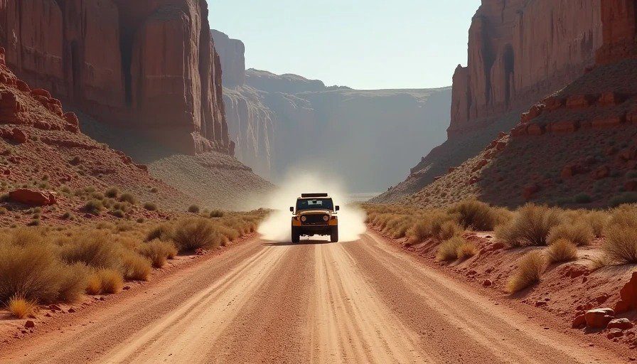
The backway descends the western side of the range and dumps you onto Notom Road. Notom Road runs north-south along the eastern edge of Capitol Reef, with the Waterpocket Fold rising to your west. It's dirt, well-graded in most places, but it can get rough after rain. It's also spectacular — you're driving alongside 100 miles of geological uplift, with the red rock of Capitol Reef on one side and the Henry Mountains fading in your rearview on the other.
The Notom-Bullfrog Road continues south. This is the connector that links the Henry Mountains route to the Burr Trail. It's a wide, two-lane dirt road in most sections-, but it's prone to severe washboarding-. Air down if you haven't already. Your kidneys will thank you.
You'll pass through Capitol Reef National Park on this section-. Note: off-road travel is not allowed inside Capitol Reef itself-. Stay on the designated roads. The park is spectacular from the dirt — no need to leave it.
The Burr Trail is the crown jewel of this route. It runs about 66 miles from Boulder to Bullfrog Marina-, connecting the high country of Boulder Mountain to the low desert of Lake Powell-. The western end is paved — smooth, easy, almost misleading-. Then the pavement ends, and the real road begins-.
The Burr Trail switchbacks are the highlight. This is a steep, winding descent that drops you from the sandstone cliffs of the Waterpocket Fold down into the canyon bottom. The road is narrow, cut into the cliff face, with switchbacks that require careful navigation. The views are absurd — red cliffs glowing in the afternoon light, the Henry Mountains visible to the east, the desert stretching forever to the south.
You'll also pass through Long Canyon on this section, where towering sandstone cliffs rise on both sides of the road. Stop here. Get out. Walk around. This is what you came for.
Camp for the night: There are primitive camping areas along the Burr Trail, though some may be closed seasonally. Check with the ranger station before you go. Dispersed camping is available on BLM land in the area — look for established sites and Leave No Trace.
What broke on this day: Nothing broke, but I learned something. The Burr Trail switchbacks are steep enough that my transmission temp crept up on the climb out. I stopped halfway up, let it cool, and continued. If you're running an automatic, watch your temps on the switchbacks. Drop into low range and let the engine do the work, not the torque converter.
Day Three: The Burr Trail to Escalante
The third day is the payoff. The Burr Trail continues west through the heart of Grand Staircase-Escalante National Monument-. The landscape shifts from the red sandstone of Capitol Reef to the multicolored layers of the Grand Staircase — chocolate cliffs, vermilion cliffs, white cliffs, all stacked like a geological layer cake.
The road from the Burr Trail to Boulder is mostly dirt, with some paved sections near the end. You'll pass through Pedestal Alley, a 3-mile round-trip hike to a collection of pedestal rocks. It's worth the stop — these are the classic hoodoo-style formations that southern Utah is famous for-.
Boulder, Utah is the first pavement you've seen in 150 miles. It's a tiny town — a gas station, a general store, a couple of restaurants, and not much else. Fill up here. The next stretch is paved, but you're not done yet.
The final leg from Boulder to Escalante is paved — Highway 12, one of the most scenic drives in America-. But you've earned the pavement. You've spent three days in the dirt, climbed a mountain range, dropped through a geological fold, and crossed one of the most remote corners of the lower 48. The pavement feels like a reward.
Escalante is the end of the line. A small town at the heart of Grand Staircase-Escalante, it's the gateway to some of the best backcountry in the Southwest. Get a room, get a shower, and get a burger. You've earned all three.
What You Need to Know Before You Go
Water. One gallon per person per day, minimum. There is no water on this route. None. The Dirty Devil River crossings are seasonal and unreliable. Carry everything you need.
Fuel. Fill up in Hanksville. Fill up again in Boulder. There is no gas in between. If your rig has a range under 250 miles off-road, carry extra fuel.
Tires. Air down before the dirt starts. The washboard on Notom Road and the Henry Mountains backway is brutal — 180 psi will save your suspension and your sanity. Air back up before the pavement at Boulder.
Communications. There is no cell service on this route. None. Not at the Henry Mountains, not on Notom Road, not on the Burr Trail. Carry a satellite communicator (Garmin InReach or similar) and leave your itinerary with someone before you leave.
Weather. Check the forecast before you go. Flash floods can happen in an instant in this country — a storm miles away can send water down a canyon and trap you. Rain can turn dirt roads to impassable mud-. If it's raining, don't go. If it looks like rain, don't go. Wait it out.
Permits. The route passes through multiple jurisdictions — BLM, National Park, National Monument. Check permit requirements before you go. Most of the route is open to vehicle travel without permits, but camping restrictions may apply in some areas.
Leave No Trace. This is fragile country. Pack out everything you pack in. Don't drive off designated roads. Don't carve your name into the rock. Take photos, not souvenirs.
What I'd Do Differently
I've run this route three times now. Each time, I've learned something.
First time: I didn't carry enough water. I had five gallons for three days. That's not enough in the Utah summer. I was rationing by Day 2. Never again.
Second time: I didn't check the Notom Road conditions before I left. It had rained the week before, and the road was torn up — washouts, soft spots, sections that required careful navigation. I made it through, but it took twice as long as I'd planned. Call the ranger station before you go.
Third time: I brought a good camera. That was the right call. The Henry Mountains at sunrise, the Waterpocket Fold at golden hour, the Burr Trail switchbacks in the late afternoon light — these are images that stay with you. Don't just drive through this country. Stop and look at it.
The Takeaway
This route isn't for everyone. It's 200-plus miles of dirt, no cell service, no gas stations, no convenience stores, no help if you break down. It requires planning, preparation, and a vehicle that's actually built for the job.
But if you're the kind of person who reads this and thinks "that sounds like a good time" — then this route is for you.
The Hanksville-to-Escalante traverse has everything a great overland route should have: variety, solitude, challenge, and scenery that stops you in your tracks. It's not famous because it's not on the map. But it should be.
If you run it, take your time. Stop at the switchbacks. Camp in the Henry Mountains. Watch the sun set over the Waterpocket Fold. And when you roll into Escalante three days later, covered in dust and grinning like an idiot, you'll understand why this route is worth the drive.